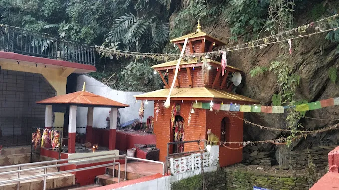
Tanahun: The Best Tourist Destination
Tanahun offers a captivating blend of nature and culture. Explore the beauty of Ainapahara waterfall, a cascading gem recently gaining popularity. Immerse yourself in history at Bandipur, a town known for its traditional charm. Tanahun is even developing new experiences, like the tree house being built within a community forest for a unique perspective of the landscape. Be among the first to discover its hidden treasures!
Tanhun district is a developing district originally located in the Mahabharata range and central hilly terrain. It is 110 km from Kathmandu. West and 19 km from Pokhara. It is located in the east. On the map, this district extends from 830 75” to 840 degrees 34” east longitude, 270 3” to 280 05” north latitude. Its area is 1546 square km. Or it is 1.05 percent of the total land area of Nepal.
Associated with the watershed area of the Gandaki River, Masryangadi and Trishuli rivers flow in the east and Kaligandaki in the south as border rivers in this district, while Madi and Seti rivers flow from the central part of the district. The highest mountains in this district are Chimkeshwari 2325 m., Kotatham 1630 m., Raipurkot 1541 m., Mirlungkot 1484 m. and Chowk 1429 m., while the highest settlements are Devghat 200 m., Kota 210 m., Damauli 320 m., etc. In this way, most of the land of Tanah is in the hilly terrain between 300 meters and 1200 meters.
Chitwan and Gorkha are in the east of this district, Syangja in the west, Kaski and Lamjung in the north and Palpa, Nawalparasi and Chitwan districts in the south. Districts can be divided into political administrative units as follows.

